
Les spécialistes de la Sicile
The Mediterranean pearls
Guided 15 days circuit ~ Airfare included
| Home | Price & Date | Practical Guide | Itinerary | The Aeolian Islands | Sicily |
|---|
|
Les spécialistes de la Sicile |
The Mediterranean pearls
Guided 15 days circuit ~ Airfare included
|
||||||
|
|||||||
 |
Contact |
|---|
 |
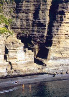 |
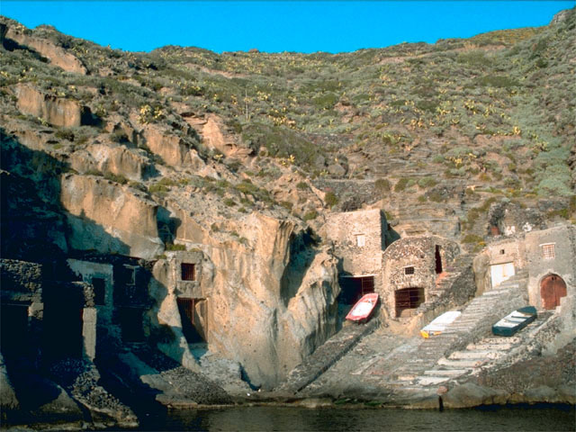
Its area of 26.8 sq km and population of 844 inhabitants make Salina the second island of the archipelago. Its present name comes from the ancient salt marshes. Throughout antiquity, it was known as Didyme, of the Greek: twin. In fact, from afar, when the light played tricks on the eyes, its two volcanoes seemed to be two separate islands. The Mount Fossa delle Felci, located on the west side of the island, is the highest peak of the archipelago with 962 meters above sea level. Unlike the other islands who, administratively depend on Lipari because they belong to the same department, Salina encloses three autonomous townships: Santa Marina Salina, Malfa and Leni which are where most of the population of the island resides. Salina counts seven small villages. They are all linked together by well-maintained roads thus allowing an easy access to the coast and interior of Salina (interesting tourist itinerary). The island’s modest post-volcanic activities include a hot spring in Pertuso and the sconcassi, which manifest themselves with the underwater current of gas and steam.
 |